
DJI Mini 4 Pro: A Compact Tool for Clearer Site Documentation


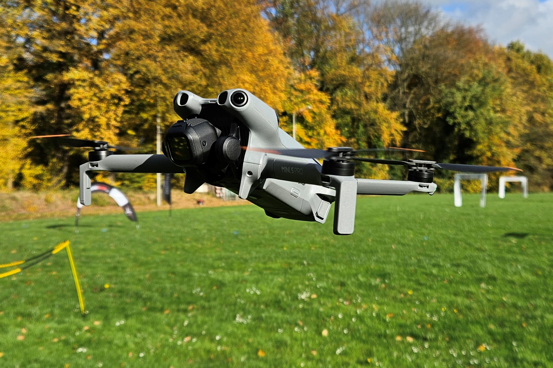
Photo: 2024 Dron DJI Mini 4 Pro (03).jpg by Jacek Halicki. Source: Wikimedia Commons. Licensed CC BY-SA 4.0. Reproduced without editorial alteration; display size may vary. The image remains available under CC BY-SA 4.0.
Specifications at a Glance
1/1.3-inch CMOS sensor
48-megapixel still-image capability
4K/60fps HDR video
Omnidirectional obstacle sensing and Waypoint Flight
Specification source: DJI official product documentation. Checked October 18, 2026.
Construction teams and property managers need a clear record of what is happening on a site. The DJI Mini 4 Pro offers a compact platform for capturing the aerial views that can support those records.
Features That Support Visual Documentation
DJI lists a 1/1.3-inch camera sensor with 48-megapixel still-image capability, 4K/60fps HDR video, and omnidirectional obstacle sensing. It also includes Waypoint Flight, which allows operators to save and repeat routes.
For documentation work, those features offer practical possibilities: detailed roof overviews, wider views of property layouts, and recurring captures from similar perspectives. Obstacle sensing provides assistance, while the operator remains responsible for assessing the surroundings and maintaining appropriate clearance.
Consistency Makes the Images More Useful
A single aerial image can show a site’s current appearance. A planned series of captures can help people follow visible changes over time.
Using consistent viewpoints, clear file names, and capture dates helps contractors and property representatives compare records. Repeatable routes can support that process, although framing and positioning can still vary between flights.
Matching the Tool to the Deliverable
The Mini 4 Pro’s visual capabilities do not, by themselves, establish measurement accuracy or validate a mapping workflow. Any project involving measurements or 3D reconstruction needs a capture and verification process suited to the intended use.
At AeroSite Inspection Services, our focus is the information clients need: organized imagery that supports communication, inspection discussions, and project records.
Contact AeroSite to discuss aerial documentation for your property or construction project.

Comments