
DJI Mini 5 Pro: What Its Camera Upgrade Means for Aerial Data Capture


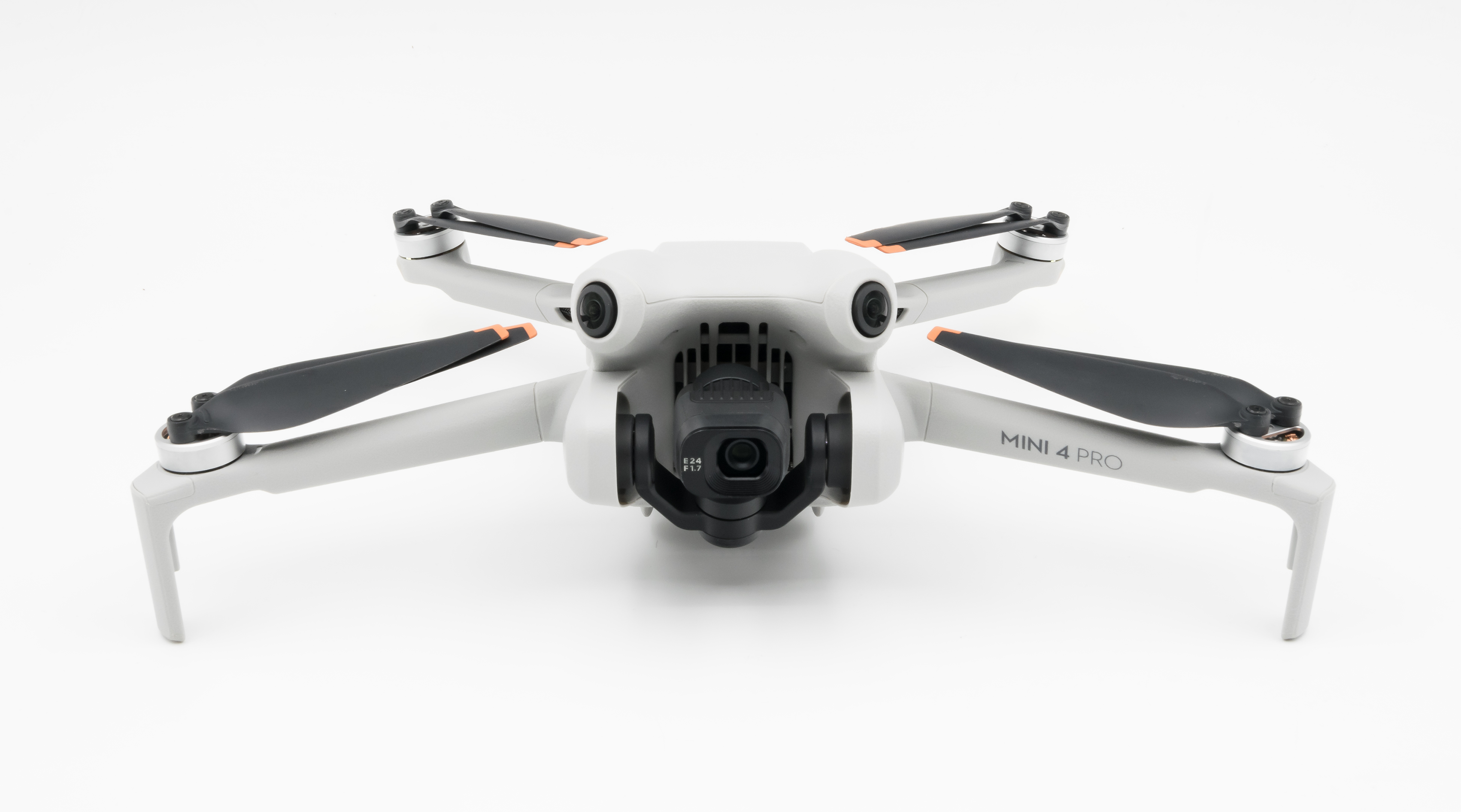
Photo: DJI Mini 5 Pro in de lucht.jpg by Zefke. Source: Wikimedia Commons. Licensed CC BY-SA 4.0. Reproduced without editorial alteration; display size may vary. The image remains available under CC BY-SA 4.0.
Specifications at a Glance
1-inch CMOS sensor
50-megapixel still-image capability
JPEG and DNG RAW capture
Omnidirectional vision sensing supplemented by forward-facing LiDAR
Specification source: DJI official product documentation. Checked October 18, 2026.
Better aerial documentation starts with a clear purpose: knowing which areas to capture, what details matter, and how the results will be used. The DJI Mini 5 Pro brings an upgraded camera to that process.
A Larger Sensor in a Compact Aircraft
DJI specifies a 1-inch CMOS sensor with 50-megapixel still-image capability and JPEG/DNG RAW capture. The aircraft also includes omnidirectional vision sensing supplemented by forward-facing LiDAR.
For property and construction documentation, these features make the Mini 5 Pro a platform worth evaluating for detailed exterior imagery. Actual results still depend on lighting, camera settings, distance from the subject, and aircraft movement.
Turning Captures Into Useful Records
The value of aerial data extends beyond the camera specifications. Property representatives need to understand where an image was captured and what it shows.
A purposeful workflow connects broad site views with closer coverage of visible features. Organizing those captures by area and date creates a record that contractors and project teams can reference during maintenance discussions or progress reviews.
Understanding the Role of LiDAR
The Mini 5 Pro’s forward-facing LiDAR forms part of its obstacle-sensing system. Its presence should not be presented as evidence that the aircraft produces survey LiDAR deliverables.
Likewise, high-resolution images alone do not establish the accuracy of a map or 3D model. Those outputs require suitable image overlap, processing, and checks against the project’s requirements.
AeroSite’s approach remains focused on purposeful data gathering and clear documentation. Equipment is selected to support the scope and the information the client needs.
Contact AeroSite to discuss your site documentation and inspection-support needs.

Comments