
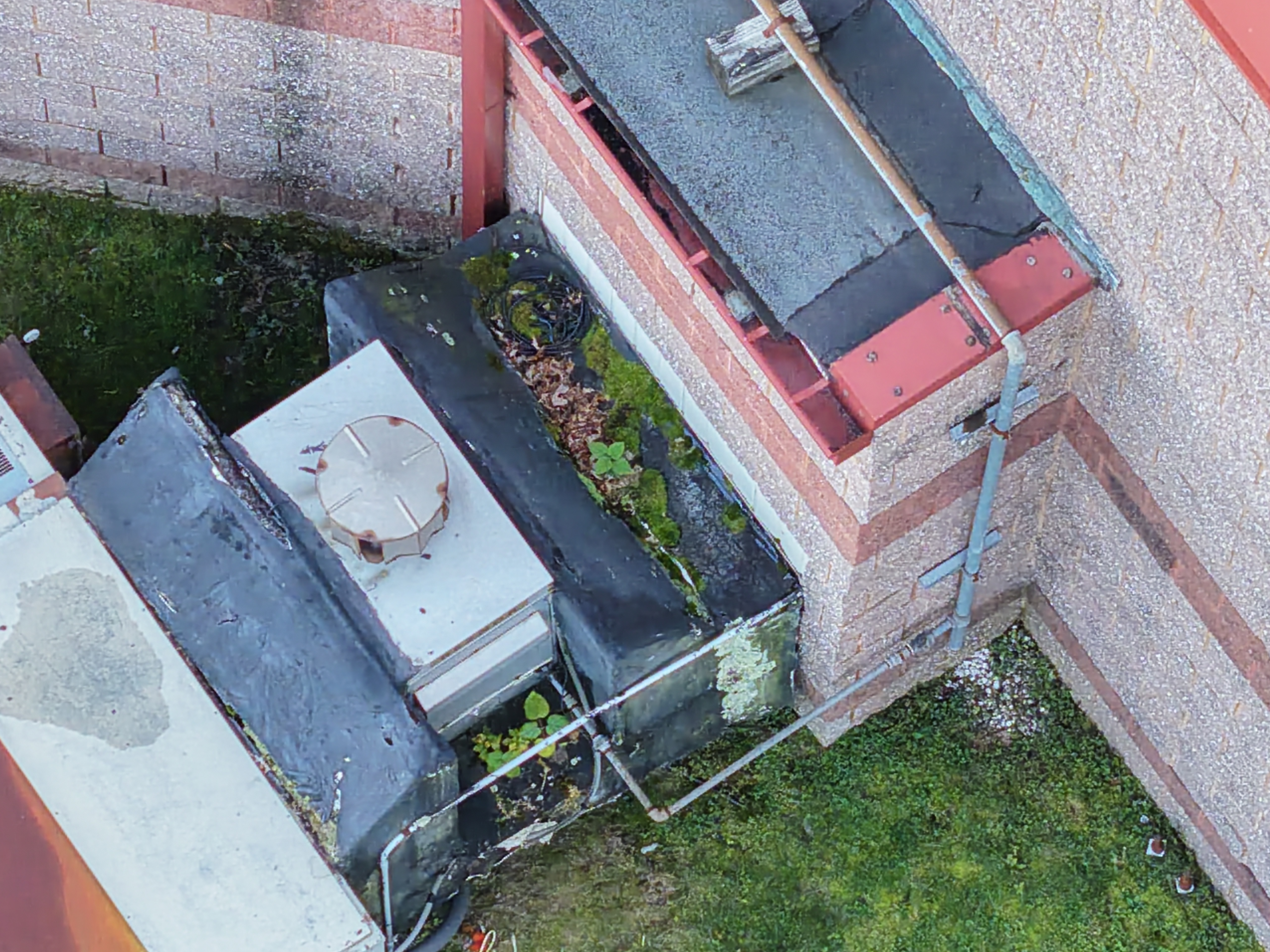
Warehouse Roof Coverage: Planning Overview and Detail Views

For contractors and property managers, a useful roof record depends on coverage structure. A wide image can establish where a roof section sits within the property, while a closer view can preserve visible detail at a specific location. Using both types in a planned sequence makes the final report easier to navigate and review.
Start with orientation views
Begin with views that show the overall roof layout, adjoining elevations, access points, rooftop equipment, visible drainage paths, and nearby obstructions. These views create context for later images and help a reviewer understand direction and relative position. They are especially useful when several roof areas have similar surfaces or repeated equipment.
An overview should not be treated as proof that every surface has been inspected. Vegetation, parapets, equipment, glare, viewing angle, and distance can conceal areas. Those limitations should be recorded.

Use detail views for specific locations
After orientation views, capture individual roof zones and exterior interfaces from consistent angles. Each image should receive a simple reference—such as Roof Area A, northeast edge, or Equipment Group 2—and connect to a marked overview or location list. This keeps detail images from becoming isolated files with no clear position.
Detail coverage can document visible surface changes, flashing interfaces, penetrations, rooftop equipment, staining, debris, or obstructions. These are visual observations only. A licensed roofer, engineer, code official, or other qualified specialist determines cause, severity, compliance, and required repair.
Build a repeatable capture plan
For construction or property records, define coverage before flight: requested roof sections, priority details, image direction, naming convention, and excluded areas. If recurring documentation is planned, preserve the same reference points so later captures can be compared without claiming exact measurement.
Before delivery, organize the files into overview, location-reference, and detail groups. Include the capture date, known access or visibility limits, and a clear statement of scope. This format gives project teams a record they can review internally or forward to the appropriate specialist.
Plan coverage for your site
AeroSite Inspection Services provides inspection-support imagery and organized visual documentation for contractors and property managers. Contact us to discuss a practical capture plan for your property or project.

Comments